G2v
@blackgirlscode
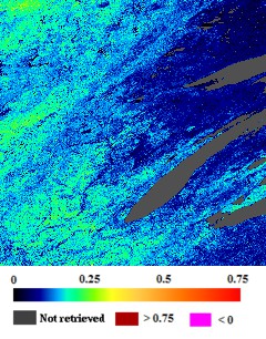
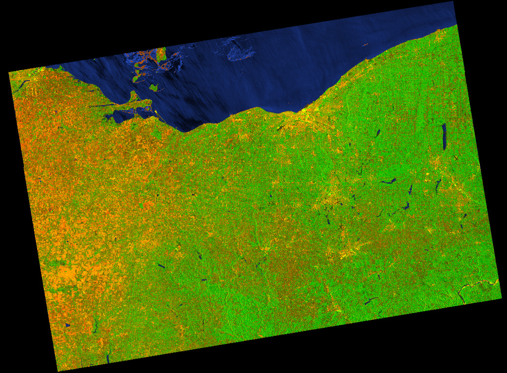
ARIA Sentinel-1
:Geocoded Unwrapped Interferograms
@City-of-Cleveland @opencleveland [[[@nasa Glenn NASA-GRC
Link
Data Partner @nasa-jpl Jet Propulsion Laboratory, NASA (NASA/JPL)
Additional Citation @asfadmin
Buzzanga, Brett, et al. “Toward sustained monitoring of subsidence at the coast using InSAR and GPS: An application in Hampton Roads, Virginia.” Geophysical Research Letters 47.18 (2020): e2020GL090013
S1-GUNW-A-R-077-tops-20250310_20250226-231636-00082W_00041N-PP-6e90-v3_0_1 https://news.mit.edu/2013/detecting-dna-in-space-0709 Solar radiation on Mars https://ntrs.nasa.gov/api/citations/19930091008/downloads/19930091008.pdf
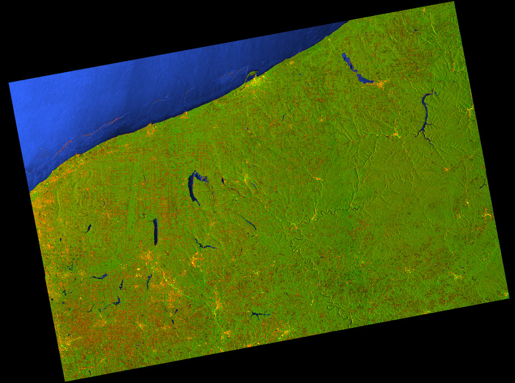
S1-GUNW-A-R-077-tops-20250310_20250226-231611-00082W_00040N-PP-1b17-v3_0_1
S1-GUNW-A-R-077-tops-20250310_20250214-231611-00082W_00040N-PP-eb04-v3_0_1
@asfadmin OPERA_L2_RTC-S1_T077-163489-IW1_20260128T231619Z_20260129T032813Z_S1A_30_v1.0 @nasa-jpl @nasa GLENN +++ OPERA_L2_RTC-S1_T077-163489-IW1_20251211T231623Z_20260129T104656Z_S1A_30_v1.0 @asfadmin @blackgirlscode NETCDF
REmote Aquatic Chlorophyll-a Tracker (REACT)
This tool is designed to display the probability that aquatic chlorophyll-a > (exceeds) 10 micrograms per liter (µg/L). Probabilities are computed from aquatic reflectance from 10-meter Sentinel-2 satellite imagery.
Idaho @blackgirlscode Latrice …
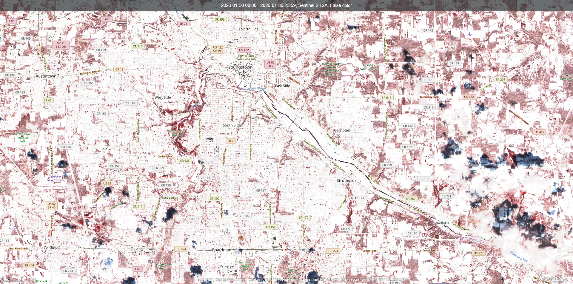
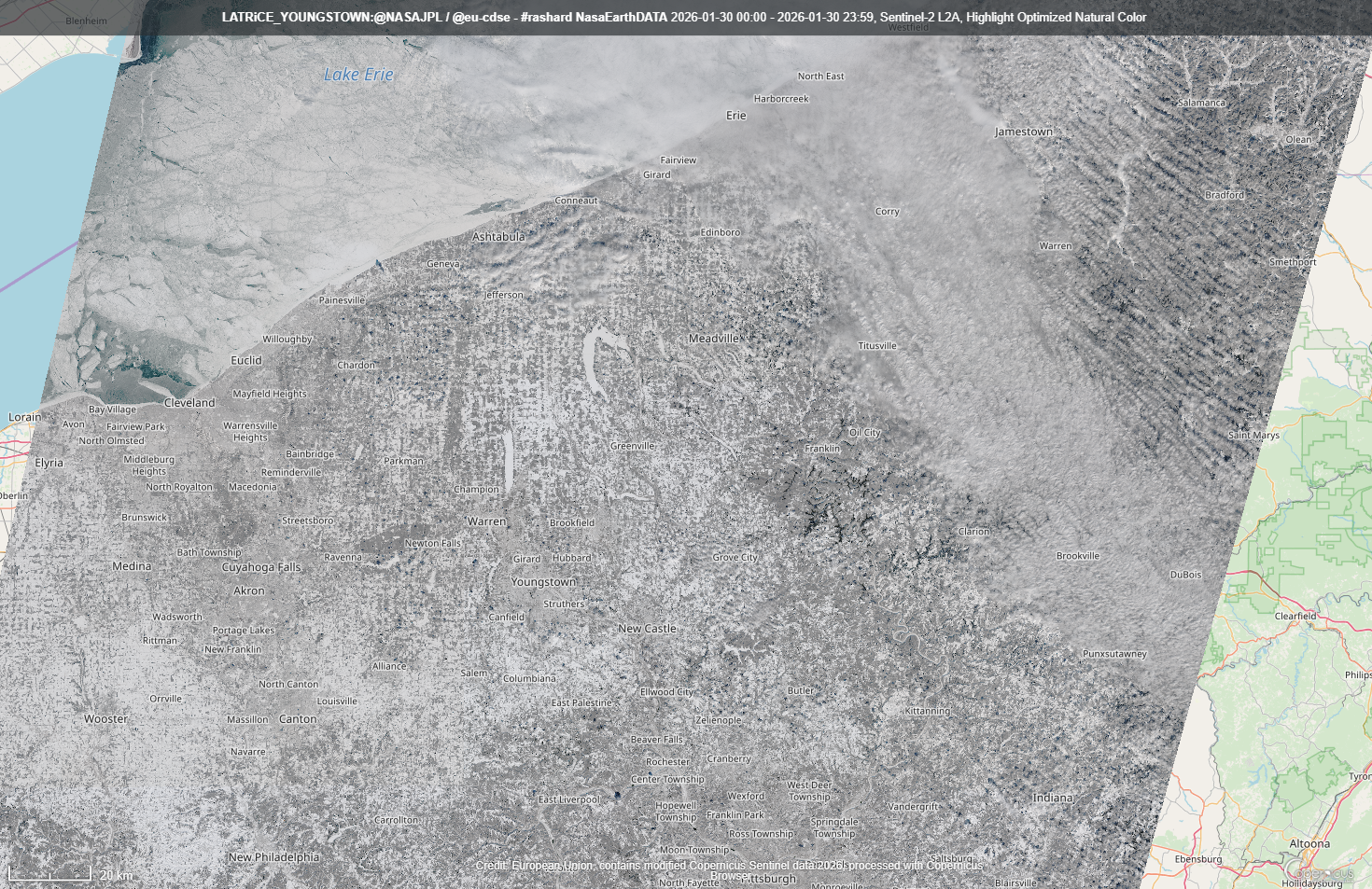
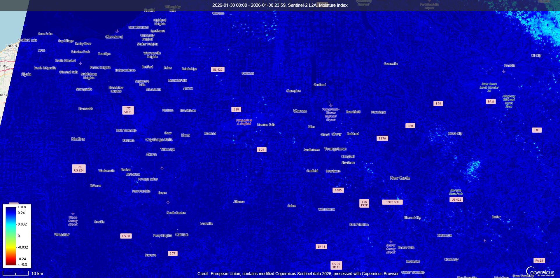
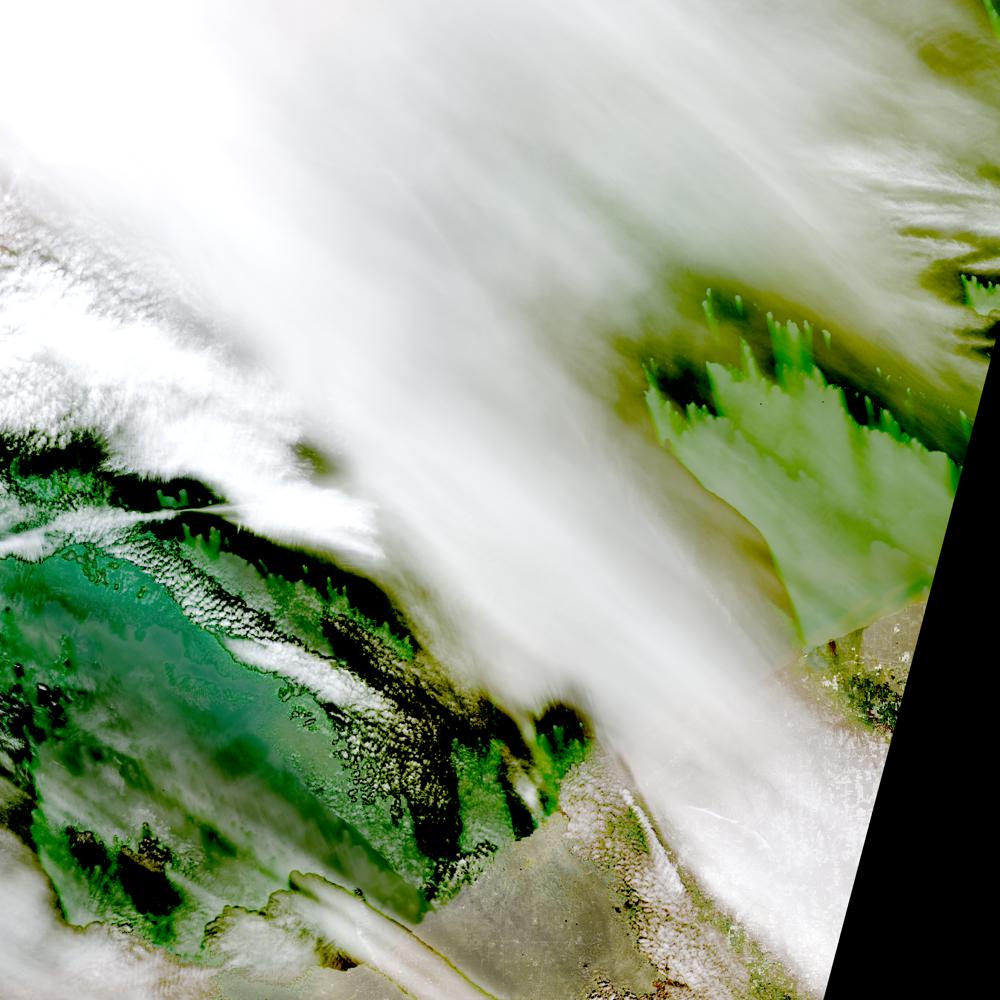
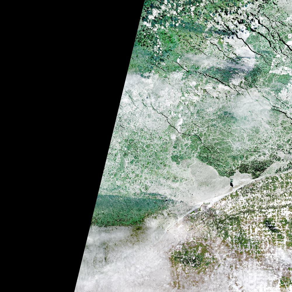
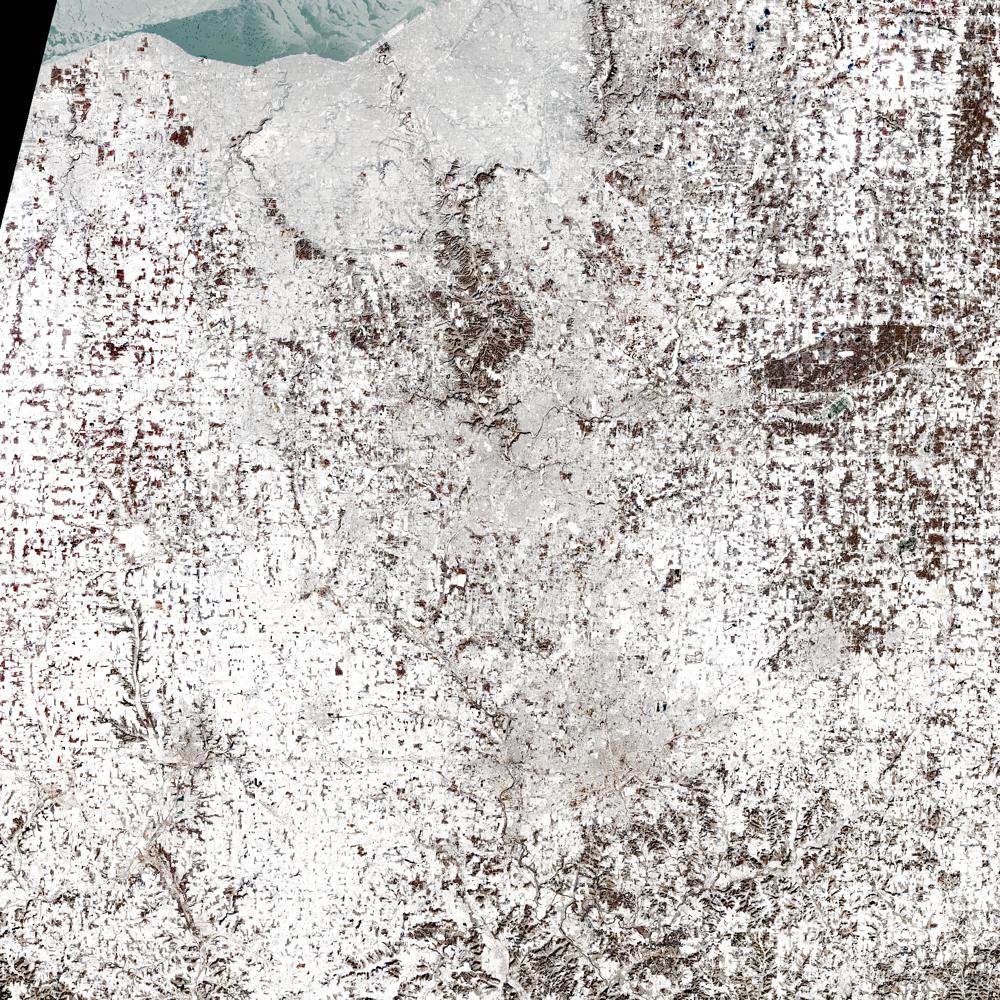
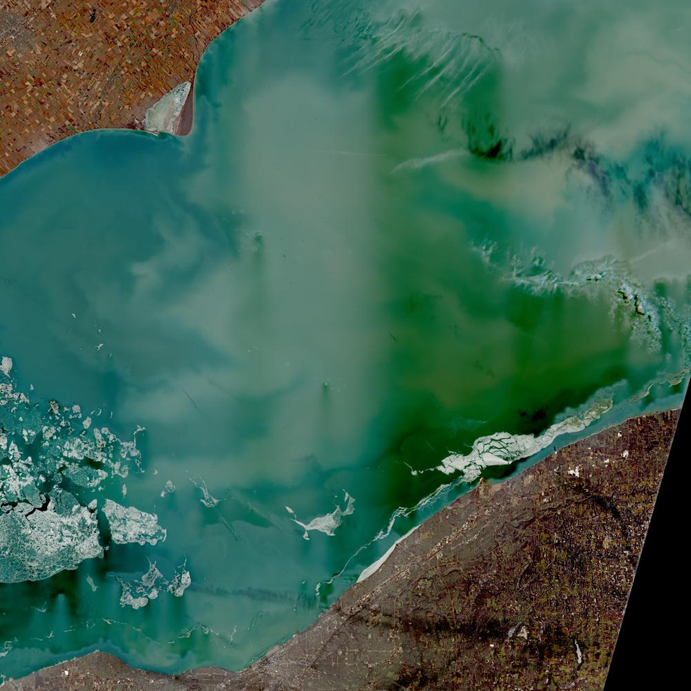
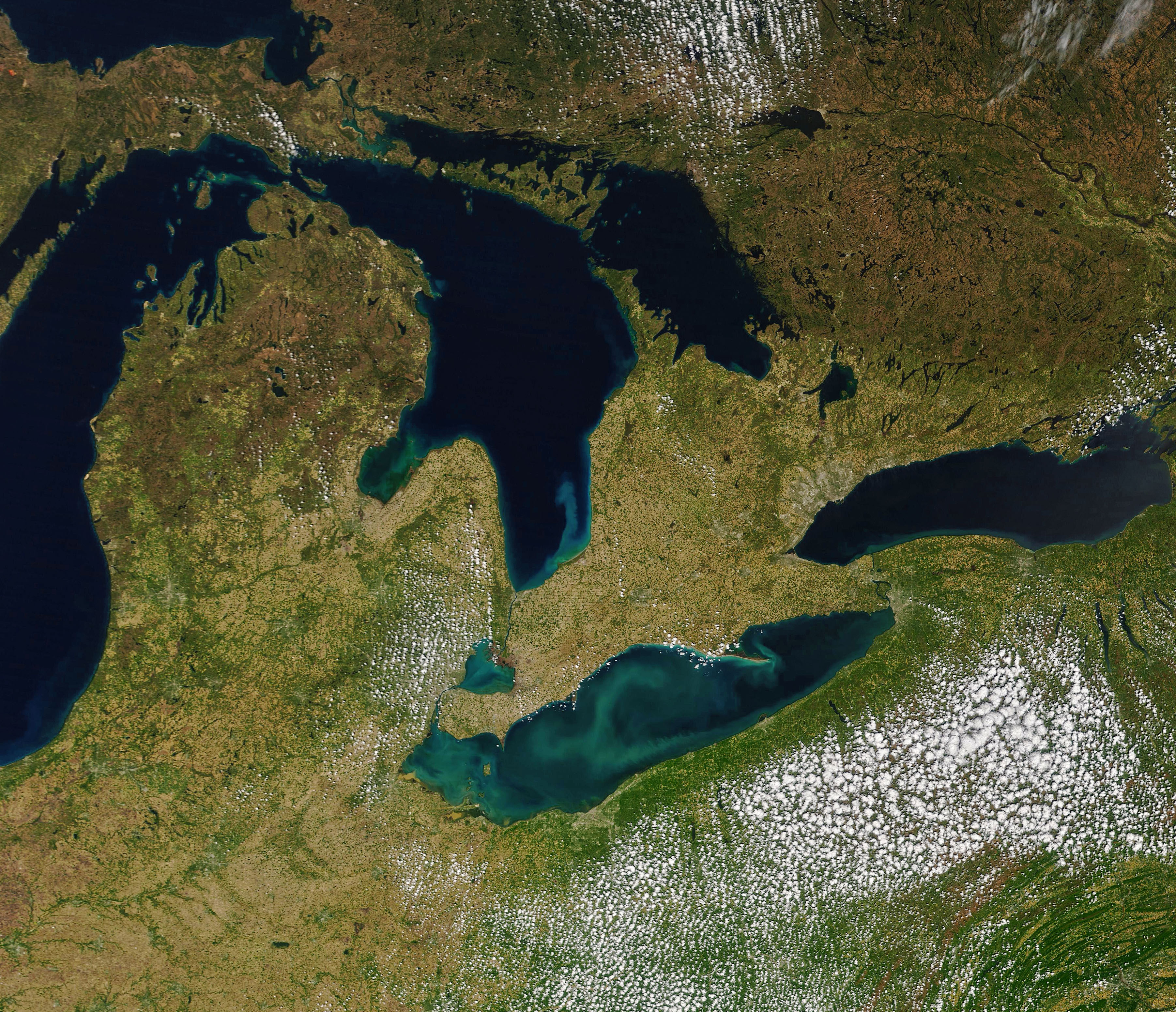
@usgs i sent my at one point girlfirends town in ohio some scans from @eu-cdse Copernicus take a look at this archive and get the .zip https://archive.org/download/2025-12-20-00-00-2025-12-20-23-59-sentinel-2-l-2-a-true-color/ohio_latrice_virtiserv_earthdata_NASA_JPL-GLENN.zip, Lake Erie while our editors mention it being Rich in quartz, limestone, and algae theres heavy deposits around Cleaveland that may need local attention ill send out an email MrsBass @nasa-jpl @nasa-pds
.png)
.png)
.png)
.png)
.png)
.png)
.png)
.png)


Mars Reconnaissance Orbiter : Mission Objectives NASA’s Mars Reconnaissance Orbiter searches for evidence that water persisted on the surface of Mars for a long period of time. ReadMore
 https://mars.nasa.gov/msl-raw-images/proj/msl/redops/ods/surface/sol/04793/opgs/edr/ncam/NRB_823000360EDR_M1200574NCAM00579M.JPG_
 DECATUR Link Atlanta Government Web Tech dept @la-county-isd
NASA Glenn Research Center developed this collection of interactive simulation exercises to accompany our Beginners Guide to Aeronautics educational content @blackgirlscode READMORE
YOUNGSTOWN_HiRES_ViRTiSERV_LATRiCE - RASHARD-NASAJPL@EARTHDATA
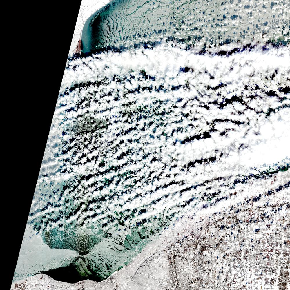
alt=”@eu-cdse ohio looks great i the snow” @blackgirlscode
Aqua MODIS Level-3 Global Mapped Remote-Sensing Reflectance (RRS) Data, version 2022.0
Description LiNK
MODIS (or Moderate-Resolution Imaging Spectroradiometer) is a key instrument aboard the Terra (EOS AM) and Aqua (EOS PM) satellites. Terra’s orbit around the Earth is timed so that it passes from north to south across the equator in the morning, while Aqua passes south to north over the equator in the afternoon. Terra MODIS and Aqua MODIS are viewing the entire Earth’s surface every 1 to 2 days, acquiring data in 36 spectral bands, or groups of wavelengths (see MODIS Technical Specifications). These data will improve our understanding of global dynamics and processes occurring on the land, in the oceans, and in the lower atmosphere. MODIS is playing a vital role in the development of validated, global, interactive Earth system models able to predict global change accurately enough to assist policy makers in making sound decisions concerning the protection of our environment.
Time Averaged Map of Remote sensing reflectance at 547 nm (water only) monthly 4 km [MODIS-Aqua MODISA_L3m_RRS v2022.0] sr^-1 bad meets evil good shit https://www.wefunkradio.com/radio/play @blackgirlscode
Time Averaged Map of Normalized Fluorescence Line Height (water only) monthly 4 km [MODIS-Aqua MODISA_L3m_FLH v2022.0] W m^-2 um^-1 sr^-1
over 2021-Jul - 2025-Oct
EnvironmentalPages - LONGBEACH @NASA-OPENSCAPES @la-county-isd @nasa-jpl
@nasa-jpl @nasa the horizons entry for Artemis 1 has a website listed https://www.nasa.gov/artemis-1 [1] but it is forwarding to https://www.nasa.gov/images/ [nasa.gov/images/ @nasa-giss @nasa-develop @blackgirlscode @newshour @datadesk
Behind the Stripes Muna Ahmed
Read ::: OBituary
@nasa-jpl @la-county-isd @podaac @nasajpl is @uber into mars ? i dont trust them @repkarenbass @lacounty @hollyjmitchell @normani remember i got poisoned and jumped as a driver ? erika left me after maybe the ceo her pimp atmagic @uber someone tampered with your @youtube comments VideoLink @blackgirlscode ::: NORMANi - ALL_YOURS nice song
SONG - Prophet Posse … Solid Steel presents DJ Food & DK - “Now, Listen Again!” (mixed CD)
Firms FirMS - Map KML SHAPES and Archives @blackgirlscode
[Part 1: Post-Fire Imagery and Smoke Monitoring - pdf] [READ] Advanced NASA Earth Observations and Tools for Active Fire, Smoke, and Post-Fire Monitoring
NASA ARSET: Post-Fire Imagery and Smoke Monitoring Part 1/2 How Are You Making the Most of Your Imagery and Lidar? A Guide to the Power of Derivative Products watch NASA ARSET: Introduction to Satellite-Based Active Fire Detection using FIRMS, Part 1/3 watch
Hazard Mapping System Fire and Smoke Product more @noaa @nasa-jpl
The Police - Walking On The Moon (Official Music Video) watch @la-county-isd @emit-sds
 @la-county-isd
SmartLA_2028.pdf <~ @ISRO this document does not include us @USGS or @nasa-jpl and i dont know how so many of us are digitally disabled and playboy mobbed up with all the technology and we make the shit … ultimately… i dont understand capitalism mr trump @whitehouse How Will LA Look in 2028? A Look at the City’s Plan To Embrace
Transformational Tech :: Los Angeles Climate Smart Cities
TRAINING GUIDE @LAThisWeek
laincubator.org/ZERO_EMiSSiONS_ROADMAP - PDF
@CityOfLosAngeles
@la-county-isd
SmartLA_2028.pdf <~ @ISRO this document does not include us @USGS or @nasa-jpl and i dont know how so many of us are digitally disabled and playboy mobbed up with all the technology and we make the shit … ultimately… i dont understand capitalism mr trump @whitehouse How Will LA Look in 2028? A Look at the City’s Plan To Embrace
Transformational Tech :: Los Angeles Climate Smart Cities
TRAINING GUIDE @LAThisWeek
laincubator.org/ZERO_EMiSSiONS_ROADMAP - PDF
@CityOfLosAngeles
OPERA_L4_TROPO-ZENITH_20260126T180000Z_20260130T000744Z_HRES_v1.0 @nasa-giss @emit-sds
@LACMTA @NASA-JPL @la-county-isd MetroCar 226, wifi exclusion on [cloud mobile c8] harbor commission aquatics earthdata pico ave realighnment project hd-
hd-36-403 enviromental impact report
layout: default title: HoleToAnotherUniVersE